Protected Open Space on Donner Summit

Royal Gorge
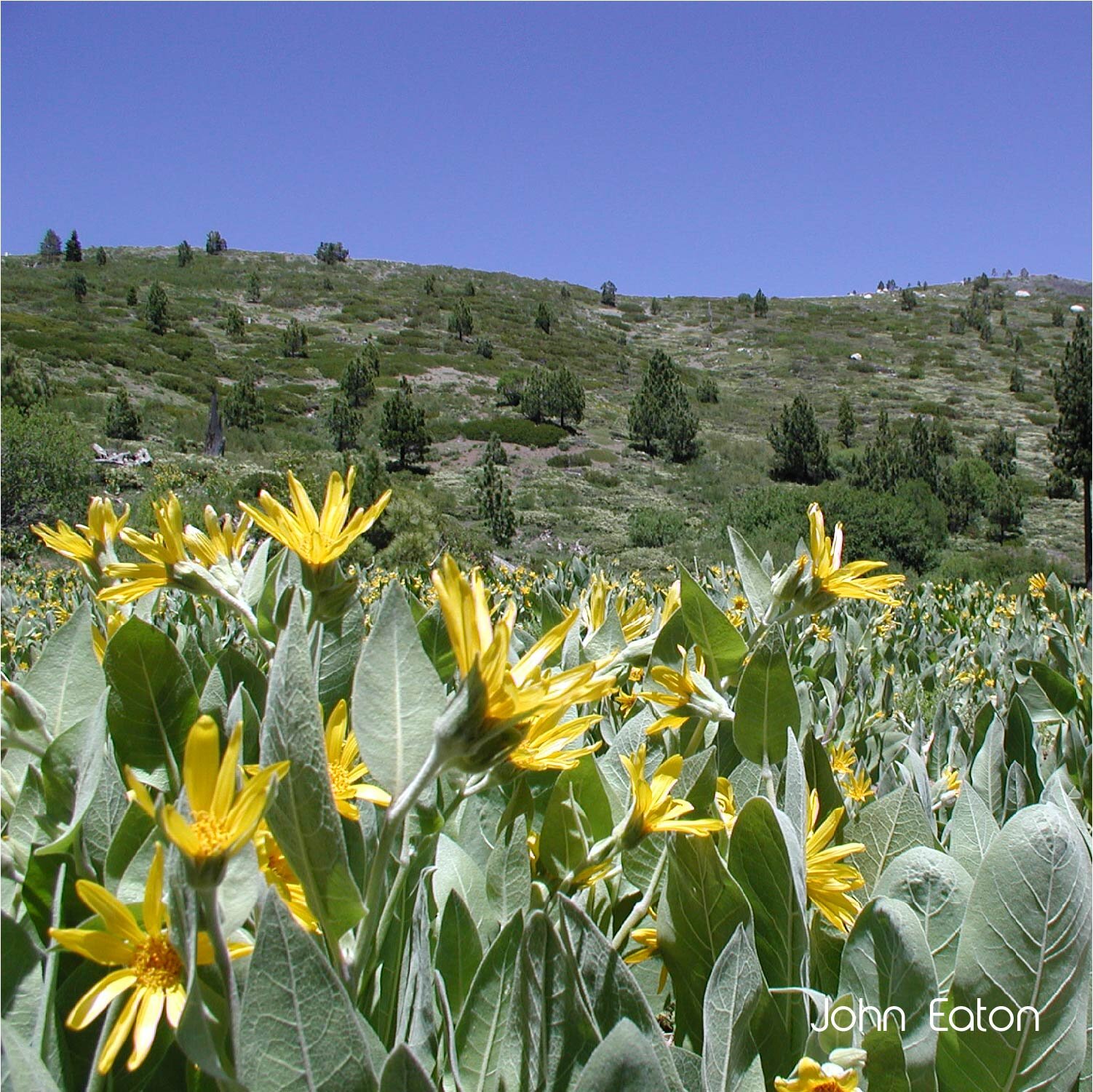
In 2006, MAP along with conservation partners and homeowners’ associations on Donner Summit, began to address concerns regarding a development proposal for 950 housing units at Royal Gorge. Collaboration, community organizing and negotiations with eight groups, including MAP, created one of the largest open space preservation victories in the Sierra. After seven years of land use advocacy efforts, the development proposal was abandoned and the site was acquired by the Truckee Donner Land Trust (TDLT) in 2012. The campaign raised over $11.25 million for the acquisition, with future funding that supports recreation and stewardship programs to protect this ecological gem. The 3,000-acre property, straddling the Sierra Crest has it all – sharp granite peaks, lush mountain meadows, old growth forests, crystal clear lakes and streams, along with rich human history. The area has abundant plant species, birds and mammals, creating a haven for any nature lover! Explore Royal Gorge by hiking or on your mountain bike, and trek the 13-mile Royal Gorge Rim Trail.
Johnson Canyon
Johnson Canyon (also known as Negro Canyon) is a biologically rich area on Donner Summit that is home to sensitive bird species, a wildlife migration corridor and Gregory Creek, an important tributary of the Donner Lake watershed. The canyon was once slated for a CalTrans salt and sand barn along Interstate 80, adjacent to Gregory Creek. MAP prevented the placement of the CalTrans facility in 2006, and in 2012 TDLT, acquired 280 acres of the canyon as a part of the Royal Gorge acquisition, further protecting the canyon from future development. Stewardship and transfer fee dollars supported by MAP have helped fund restoration and recreation projects in Johnson Canyon. The canyon provides direct access to the Donner Lake Rim Trail. Explore this beautiful area by running, hiking, and mountain biking in the summer or snowshoeing and backcountry skiing in the winter. Additionally, TDLT purchased 400 acres, known as Billy Mack Canyon on Donner Summit using transfer fee funds from land use advocacy negotiations supported by MAP in 2005 to further collaborative resource conservation goals. Billy Mack Canyon is another gem on Donner Summit that provides refuge for wildlife and access for rock climbing, bouldering and skiing.

Coldstream Canyon
In 2002 and 2004, MAP prevented two large scale water mining facility operations from locating in Coldstream Canyon. While much of the area is now protected under easements at the Donner Memorial State park, there are still open space opportunities in Coldstream Canyon. A future community benefit fund that was negotiated by MAP during the Planned Community – 1 specific plan process in 2014 (known as PC-1 or Coldstream Housing Project) will help fund future open space opportunities and create community benefits surrounding the future housing project with trails, parks, transit and workforce housing.